

Open Letter to the Queensland Minister for Natural Resources and Water
This is a letter about the Water Resource Plan for the Logan Basin. It specifically addresses the intention of the minister for natural resources and water to amend the Water Act 2000 to include North Stradbroke Island (Minjerribah/Straddie) in the Logan Basin Plan (‘the plan’) with the aim to extract water from the aquifer, wetlands, and springs of Minjerribah to service Logan City.
I have written this letter in an open way because the government talks about consultation with the community but does not feel the need to follow recommendations that come from this consultation. For example, just look at the fiasco that had arisen from the government’s proposal to build the Taveston Dam on the Mary River despite widespread community opposition.
Government and mining interests have been using the water on Minjerribah/Nth Stradbroke Island (near Brisbane) for purposes that are harmful to the Island. There is a proposal to take more water off the island to service Logan City and its environs. See Logan Basin Water Resource Plan published by Department of Natural Resources and Water Water Allocation and Planning Group.
Summary of letter.
1. What is importance of Straddie/Minjerribah.
Picture 1 – View of Frenchman’s Beach on Straddie
Many People know the island as a beautiful environment close to Brisbane. It is seen as an escape from the city that local people have enjoyed for generations. For example, my family has been going there for over 40 years (since the 1960s).
Picture 2 – Brown lake near Dunwich on Straddie – the ‘tide’ has gone out 16 metres since 2006.
It has a diverse culture that is made important by the presence of the aboriginal custodiams of the land who still live there and can trace their relationship with the land back in time for millenia.
It is place of recreation including fishing, surfing, walking and socialising.
But much has happened on the island that is not widely recognised:
- still unresolved land rights claims by indigenous people,
- mining operations that have destroyed aboriginal middens, wiped out perched lakes, and killed natural flora and fauna,
- excessive development in the interests of the rich and powerful at the expense of workers who have built the roads, the infrastructure and the housing on the island.
2. Limitations of current data provided by Dept of Resources and Water.
– shortage of data from the entire island over a long period of time. There are large error range in the rainfall/runoff/evaporation etc.
There is only a selected period of rainfall averaged 1960 to 1999 – it avoids the most recent and PROLONGED drought and there is restricted access to mining company data.
3. Effects of long term climate change – 50mm rainfall decrease per 10 yrs is the current trend from data provided by climate change experts (See BOM data reported by Prof. Ian Lowe).
4. Limitations of Modelling – if you put bad data into model >> you get back results out of model. Complexities and lack of good data (the authors of the plan are 80% sure they are close to the mark with the current data – is this good enough? (But how did they come up with the 80% confidence level). This is only the first attempt at a Whole of Island Dynamic Model!!! They plan to test/calibrate it over the next 2 years and using adaptive management strategy (sounds like lets not panic until we have to or lets just go ahead and hope for the best strategy).
5. Lack of use of the Precautionary Principle – they have already set a target of 22ML/d extra without a good dynamic model to tell them the effects in the longer term.
The Plan
The Department of Natural Resources has published a Logan Basin water resource plan that tells us little of the plans of government and the major user of water on the island Consolidated Rutile Limited (CRL).
What the plan does say contains some inconsistencies, errors and omissions.
At page 9 Figure 3a is incorrectly labelled ‘Monthly Rainfall and pan evaporation for NSI (Minjerribah/Straddie) derived from SILO data’. The figure contains annual rainfall with no pan evaporation data. The rainfall data differs markedly from the actual data recorded at Point Lookout from 1947-1980. The discrepancies are highlighted in the following table:
|
Year |
Silo Model Data in mm |
SIMO (Actual rainfall) Data in mm [Footnote 1] |
|
1950 |
1900 |
1338 |
|
1960 |
1000 |
1180 |
|
1970 |
1400 |
1221 |
|
1980 |
1400 |
1512 |
The plan claims at 3.1.1 headed Climate that there is a lack of measured data so synthetic data was generated. This is not so. There is plenty of actual rainfall data available. For example rainfall data has been collected at the airstrip for years [Footnote 3].Minjerribah has been the topic of fresh water extraction for urban use by colonisers for over 100 years, it beggars belief that the minister would claim through the plan that only synthetic data is available. How can any plan be taken seriously without actual data relating to how much rain falls in which places being recorded and analysed?
The section (3) Characteristics and Current Water Resources Development refers to scientific research that is 30 years old. There researchers some of whom are now dead) would have had no idea that their work would have been used in this way.I would guess that at least some of those researchers still alive would be horrified at the plan to extract more water from Minjerribah (Straddie). There is current research that has been ignored. For example the seagrass monitoring that is being conducted by volunteers in Quandamooka (Moreton Bay) that borders Minjerribah (Straddie).
Some of this research is the subject of commendation by the Minister for the Environment. During the past 30 years much has happened to threaten Minjerribah (Straddie). Not the least of which is the deep drilling and dredging performed by CRL in the high dunes commenced in 1981. On its own admission CRL agrees ‘that there have been some incidents that ‘the industry (of sand mining) would prefer to forget’ like the occasions when ‘dredge ponds have broached their retaining walls, and where failings have formed quite large slips.’ [Footnote 4]
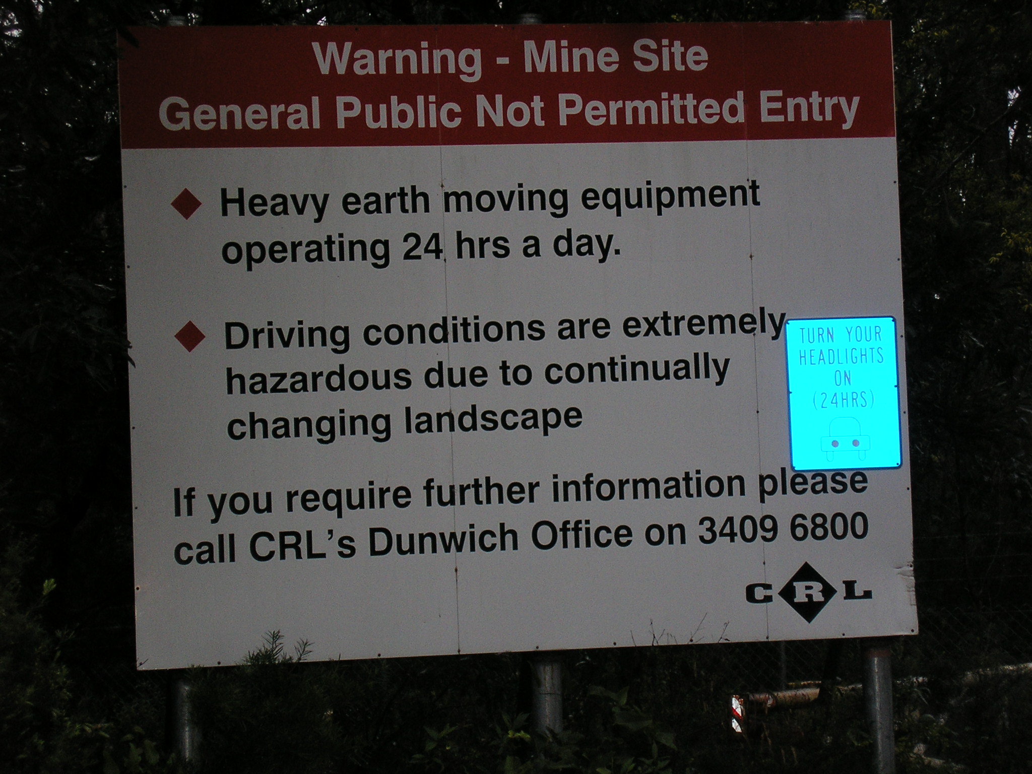

Picture 3- Front Gate of CRL Sand Mine at Yarraman on Minjerribah
The damage that has been done under mining lease 931 to 18 Mile Swamp by the artificial creation of Herring Lagoon to extract water for mining use is justified in the boardrooms as necessary for balance sheets and profit but what of the people that the island has supported for the past 40 thousand years? They destroyed the aboriginal middens along Ocean Beach. This has been documented in Focu on Stradbroke: New Information on North Stradbroke Island and Surrounding Areas 1974-1984 published by Boolarong Publications (1984) for SIMO.
There is no mention in the plan of the data supplied to DNR by CRL about water extraction from Herring lagoon and countless bores that CRL uses to float its barges in the high dunes. One lot of data for the decision makers and another lot for the public! We hear nothing of the megalitres of water displaced by CRL from the aquifer to other places on the island. We are told nothing of the groundwater outflow that these mining operations have produced down through the years. They tell us nothing of the purging of the low fore-dunes just a few miles from the surf-lifesavers clubhouse at Point Lookout all the way down to Jumpinpin.
The last sentence in Section 4.1.2 ends with the statement ‘and different data sets may not capture the worst possible drought in history’. Curiously the sentence following begins mid-sentence: ‘have highlighted the risk of depending primarily on historical data when operating an urban supply system’. What is meant? What has been left out? This omission is likely to relate to the speedy compilation of the plan with scarce resources (not to mention poor proofreading).
However BushTelegraph would like to be provided with the missing paragraph(s). Also could the minister provide the minutes of the meeting conducted at Dunwich Town Hall at 10am on 14 August 2007 where the local member, Mr Weightman, gave certain undertakings on behalf of the government?
The minister has called for submissions regarding the plan. This is not possible while the minister has failed to publish all the information it has particularly the dealings it has with the sand mining operators on Minjerribah (Straddie).
Ian Curr
BushTelegraph
24 August 2007.
Footnote 1 – North Stradbroke Island by Ellie Durbidge and Jeanette Covacevih of the Stradbroke Island Management Organisation (SIMO) See Appendix X Rainfall Figures for Point Lookout 1947 -1980 (correctly labelled).
Footnote 2 – The SILO data from DNR in the graph on p9 does not permit accurate figures to be read from it so only rounded rainfall figures can be presented. This still does not explain the difference between SILO and actual rainfall.
Footnote 3 – An airstrip worker reported this to DNR officials at a meeting at Dunwich Hall on 14 August 2007.
Footnote 4 – Mining of Stradbroke Island – Past Present and Future by R. McMillan, J. Scott & D.E. Moore (representatives of CRL).
See the article called Water Theft— Comments on Logan Basin Water Resource Plan (‘the plan’) and its effects on North Stradbroke Island
by Trevor Berrill September, 2007.
An excellent and timely analysis; anyone that loves Straddie will (hopefully) be appalled by the Beattie/ Bligh Govenment plan.